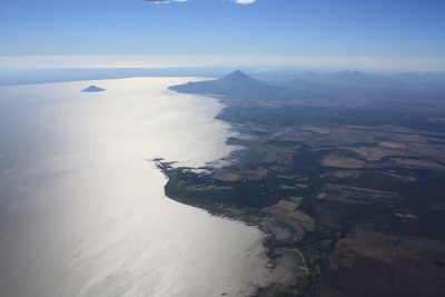
Managua is located on a plain between the shores of Lake Xolotlán and the foothills of the Sierras de Managua.
The main topographic characteristics of the territory are the Motastepe and San Carlos hills; the lagoons of Asososca, Nejapa, Tiscapa and Acahualinca.; the Ticomo Valley, the Sierras de Santo Domingo and Lake Xolotlán.
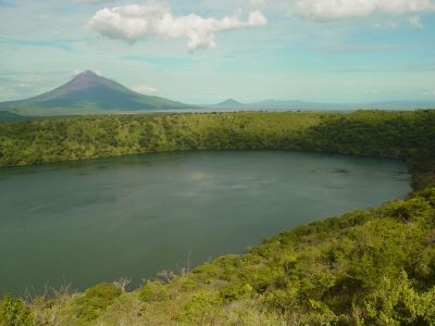
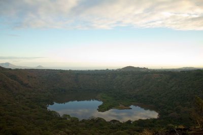
In the municipality there are three protected areas: the Natural Reserve Asososca Lagoon, the Laguna de Tiscapa Protected Land Landscape and the Laguna de Nejapa Nature Reserve.
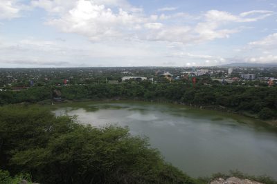
La Tiscapa lagoon, in Nahuatl “Mirror Lagoon”, located in the center of the city, is of volcanic origin and occupies the bottom of an ancient crater. From the privileged height in the Loma de Tiscapa you can see the landscape of Managua and a large part of its buildings, it has landscape, natural, scenic and tourist values.
To go down to the lagoon there are trails that allow you to discover the surrounding vegetation and fauna, there are alternatives for adventure tourism and environmental interpretation.
To take a tour you can go down the south side of the Mirador Tiscapa restaurant and if you wish, enjoy hiking.
La Asososca Lagoon, located to the west of the city, is a natural deposit, bordered by rocky cliffs. Probably in ancient times this site was used for religious rituals because the figure of Quetzalcóatl, the Feathered Serpent, the main god of Mesoamerican culture, is painted on the walls of the cliff.
La Nejapa lagoon it is also located west of the city of Managua. It occupies an oval depression 160 meters deep, formed by an explosion and sinking at the foot of the Motastepe hill approximately 5,000 years ago. Its water mirror is small (0.19 km²), it is very shallow and is loaded with sediments and mineral salts. The vegetation of the crater is lush, from the edge there are trails that go down to the water mirror, the landscapes and the natural environment invite everyone to enjoy a good excursion walk.
Another attraction of the city is the Mokorón hill, located to the southwest of the city, it has high value for biological conservation, since it keeps one of the last remnants of the seasonal tropical dry forest ecosystem, a lung for the city and a temperature regulator which also helps to infiltrate the water that comes from the mountains.
From the hill there is a fantastic panoramic view of the city of Managua such as Lake Xolotlán, Momotombito hill and the plain.
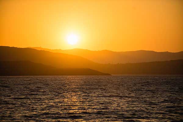
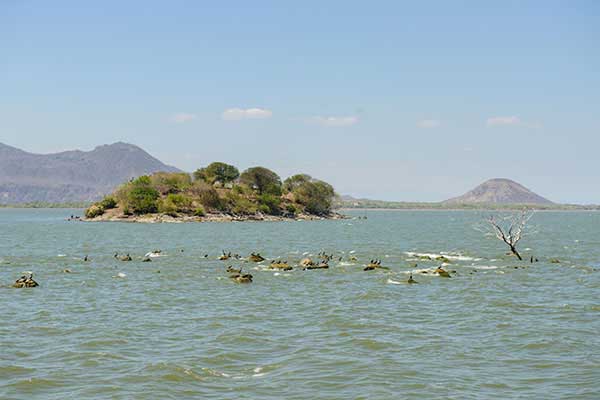
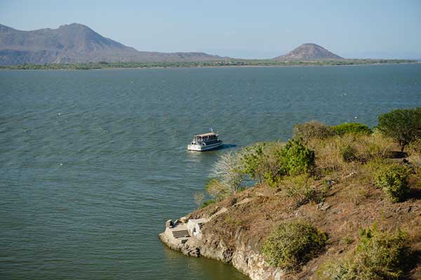
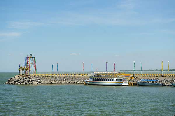
Managua is the "Xolotlán's Bride", the second largest lake in the country, with an area of 1.049 km². You can take a boat tour from Puerto Salvador Allende and appreciate the wonderful view of the entire lake, as well as the diversity of flora that it has.
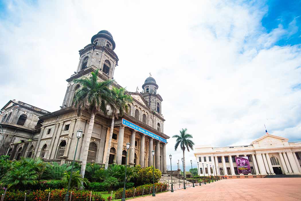
The walk offers a wonderful panoramic view of the historic center of the city, the Momotombo and Momotombito volcanoes, admiring the Chiltepe peninsula, Isla del Amor, Isla Encantada and the Carlos Fonseca port, in the municipality of San Francisco Libre.


