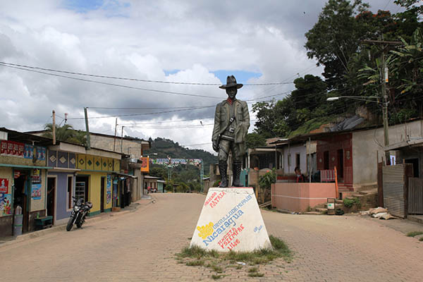
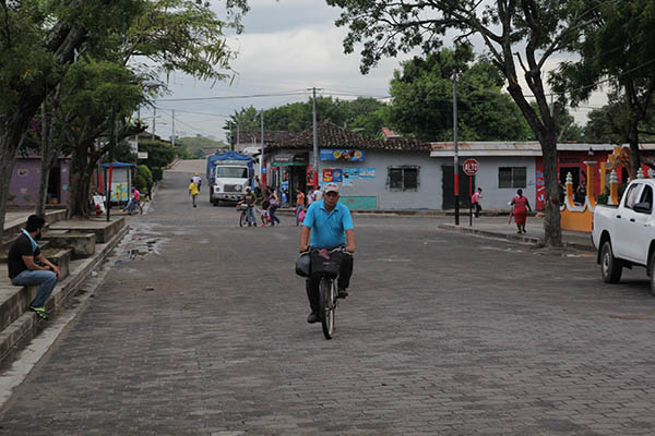
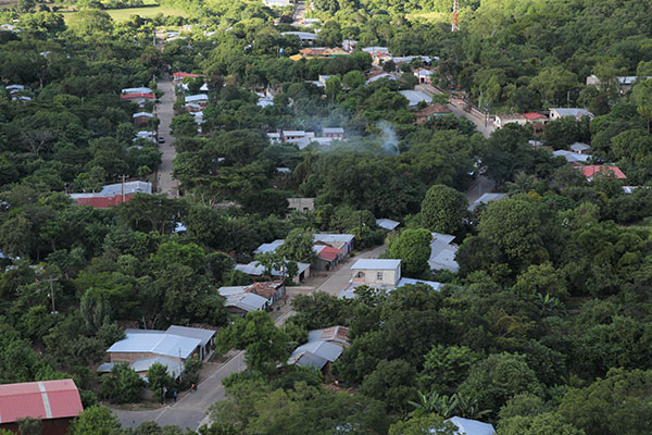
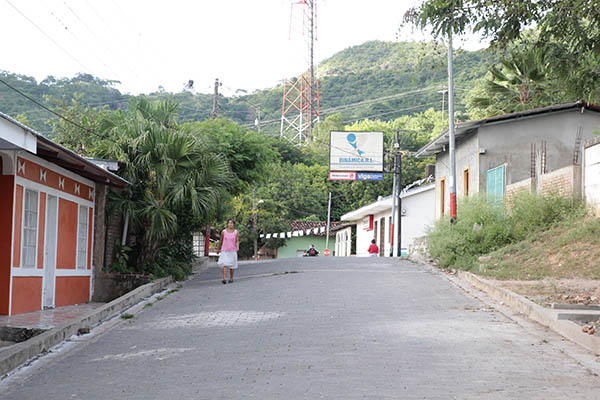
Originally this municipality was known as "Sabaneta", since it is located on a plain. In 1942 it was elevated to a municipality and named "Las Sabanas".
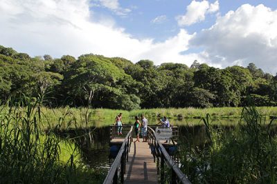
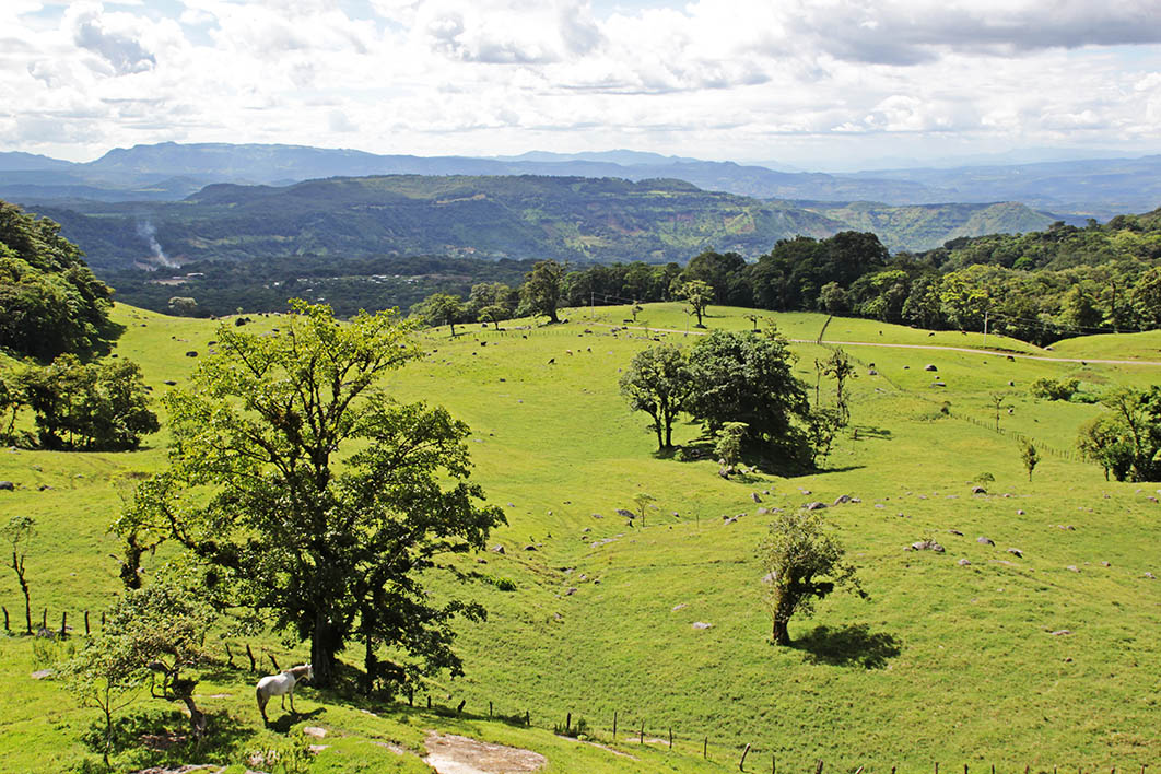
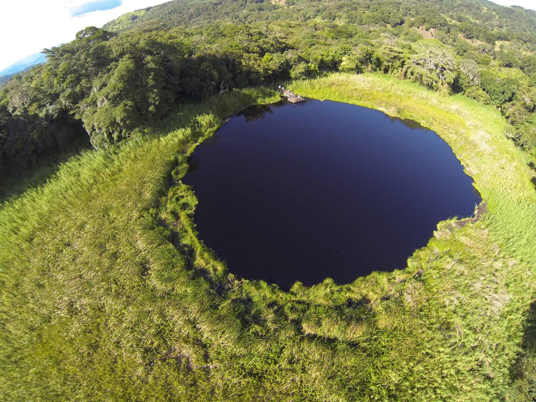
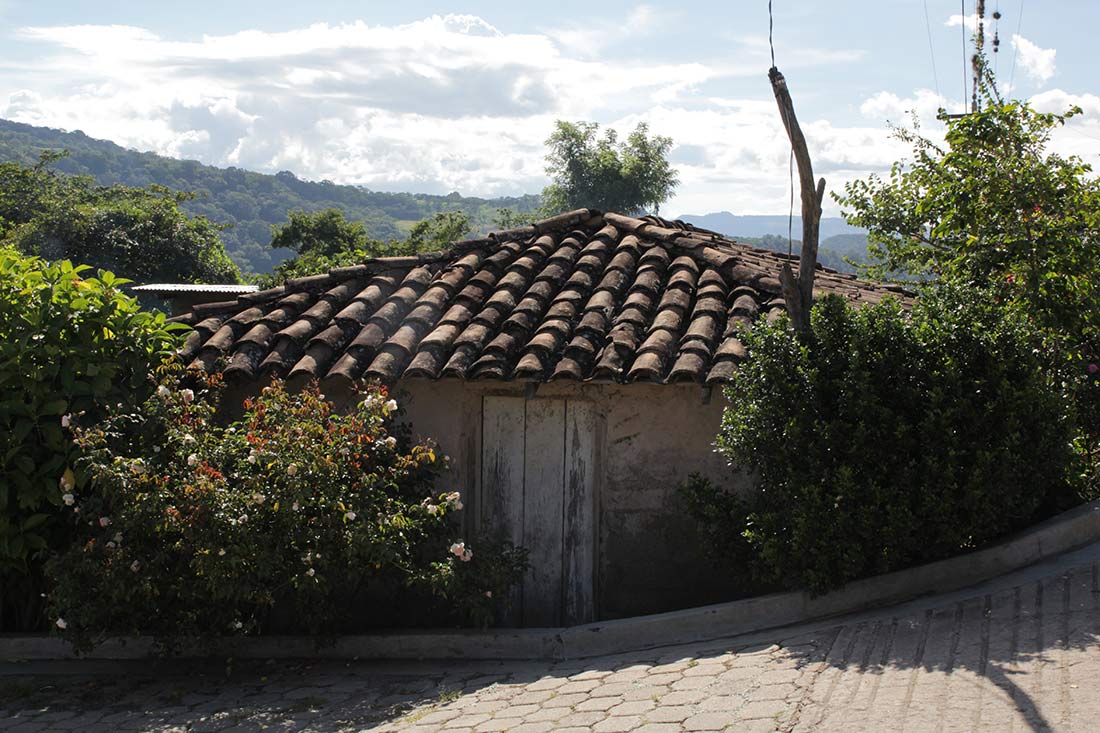
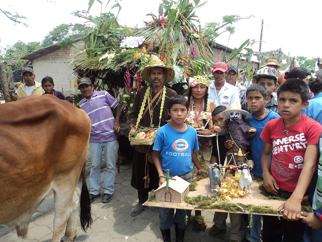
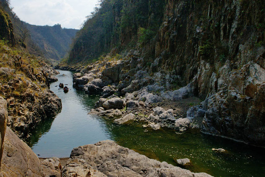
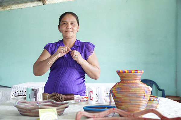
In the municipality, with a pleasant climate and panoramic views of great beauty, life is pleasant for its inhabitants, simple, hospitable people rooted in the customs and knowledge of rural culture. Its dances and traditional music with guitars, mandolins, guitarrones and accordions, invites you to learn more about this little corner of Nicaragua.
Las Sabanas is located 239 kilometers away from Managua and 21 kilometers from Somoto, the departmental capital. It limits to the north with San Lucas, to the south with San José de Cusmapa, to the east with Pueblo Nuevo and to the west with the Republic of Honduras.
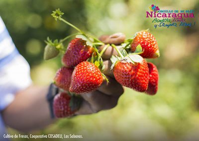
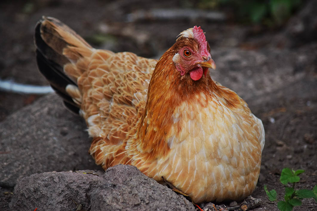
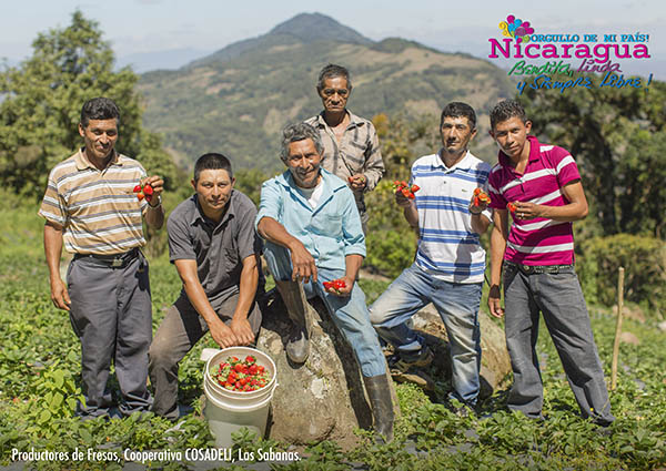
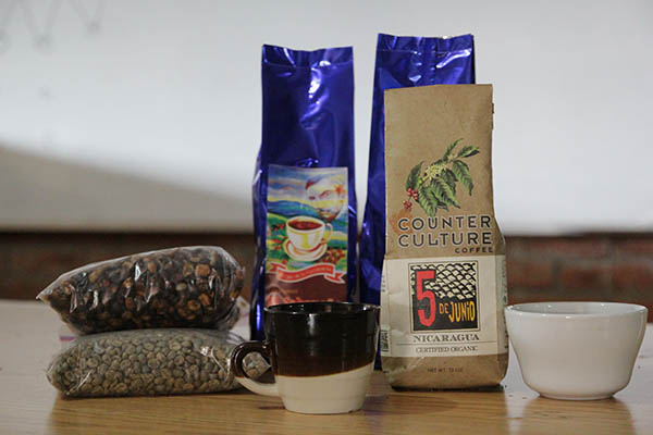
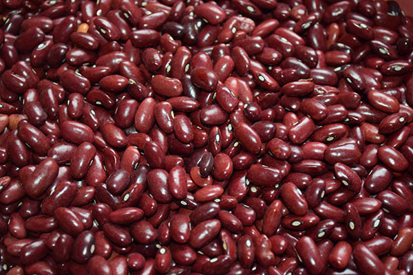
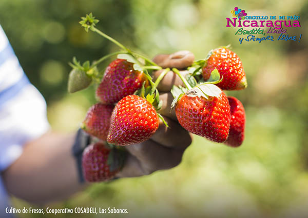
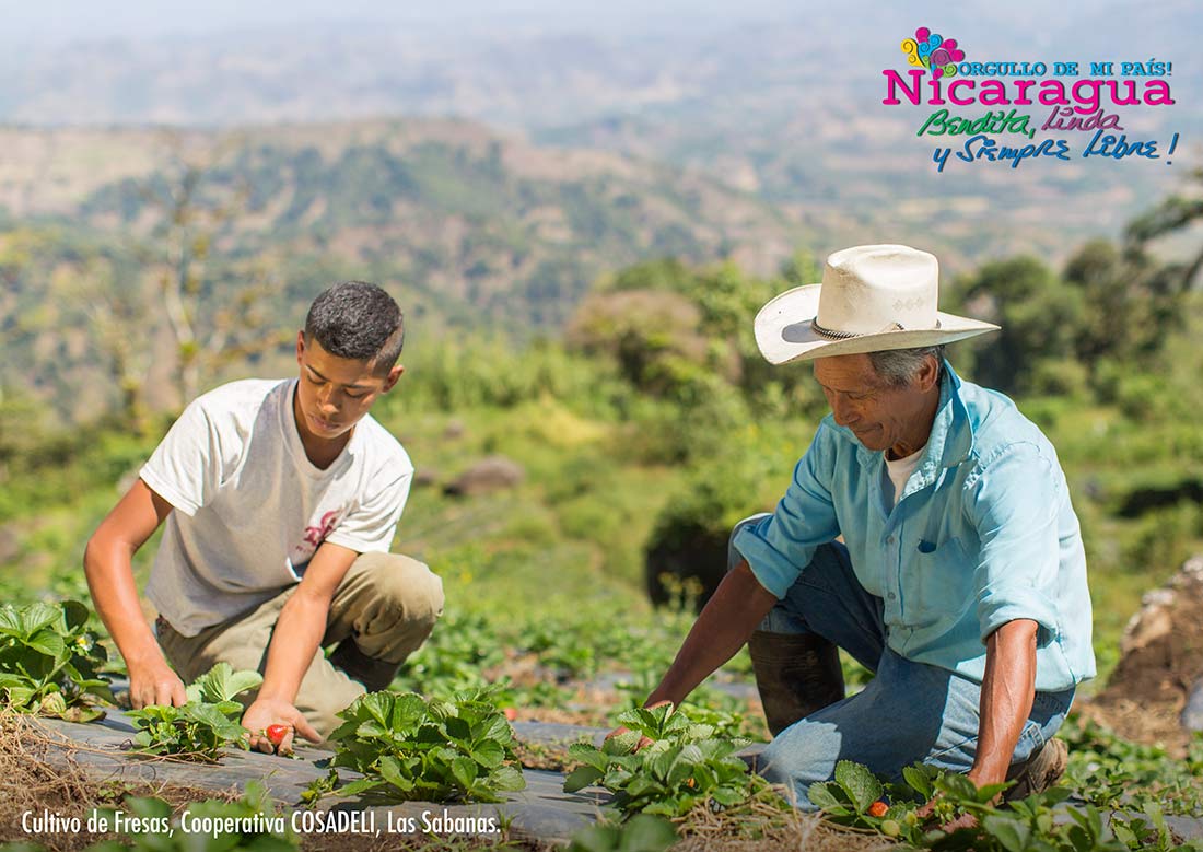
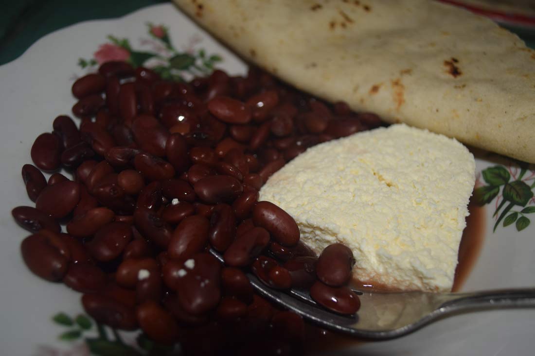
The main economic activity is agriculture with the crops of beans, sorghum, corn, coffee and vegetables. The raising of domestic animals such as poultry, pigs and cattle, represent an important area of the municipality.
Demographic data
Territorial expansion |
Altitude |
Location |
|---|---|---|
| 64.54 km2 | 1260 masl | 4,946 inhabitants Urbana: 1,147 - Rural: 3,799 |
Address
To get there you must take a transport unit in the El Mayoreo market towards the municipality of Somoto, then at the bus terminal of this city, you take a bus in the direction of the municipality of Las Sabanas.
You can also travel by private vehicle, taking the North Pan-American Highway towards Estelí and then to the municipality of Somoto, in Somoto you must take the highway towards San Lucas and continue south until you reach Las Sabanas.
