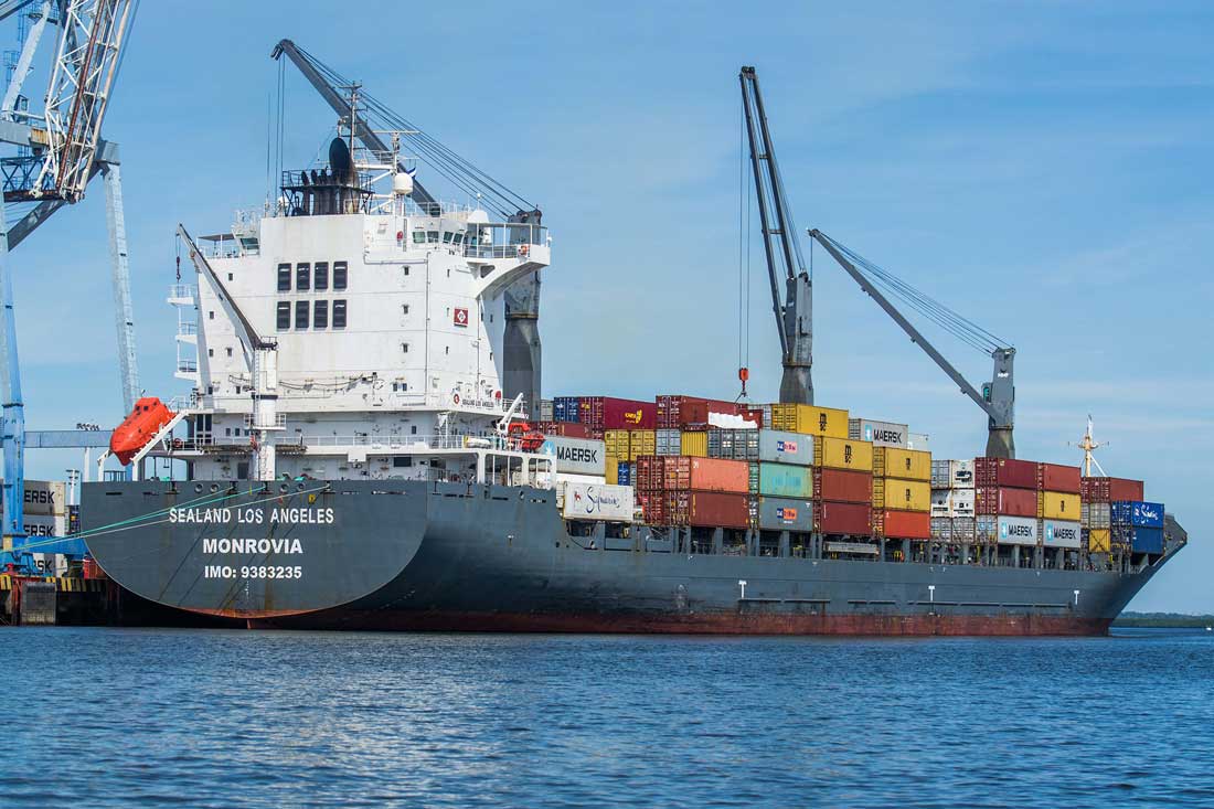
The municipality was created by legislation of November 5, 1946. The port located in this municipality bears the name of General Francisco Morazán, president of the defunct Federal Republic of Central America.
Before the town had the indigenous name of "Nacascolo", a very common tree in ancient times and currently in danger of extinction.
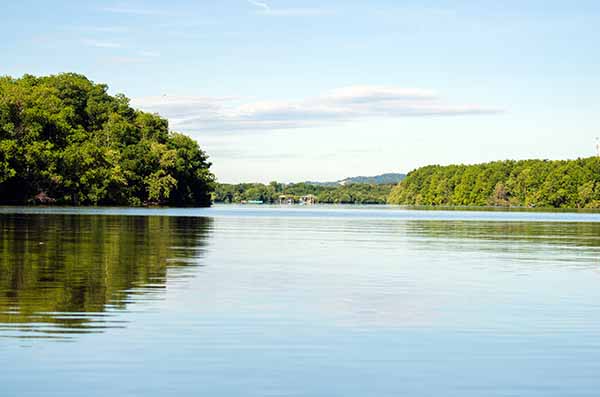
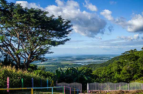
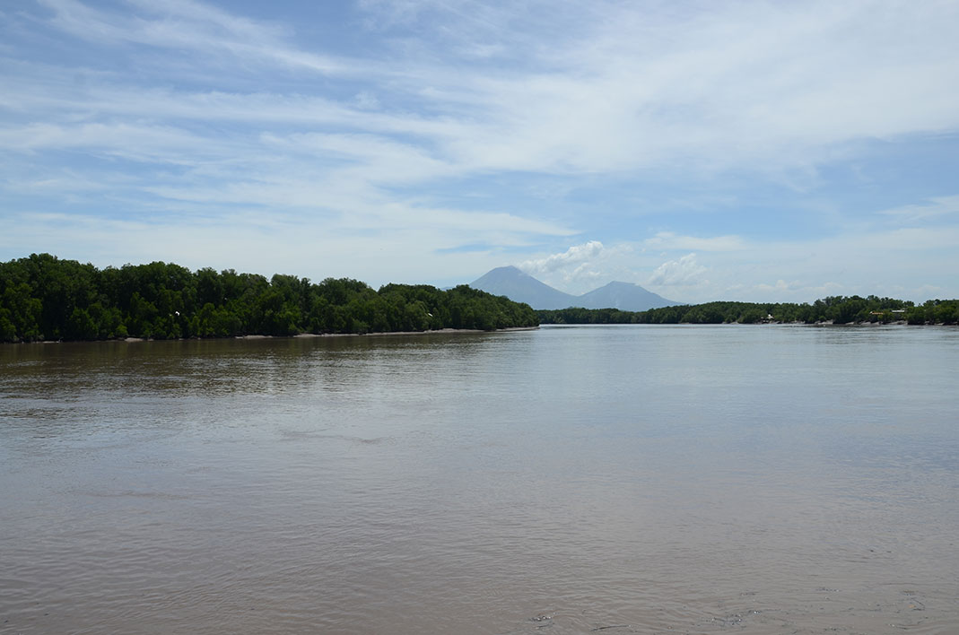
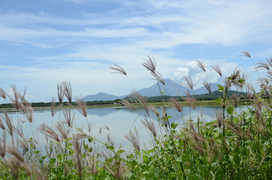
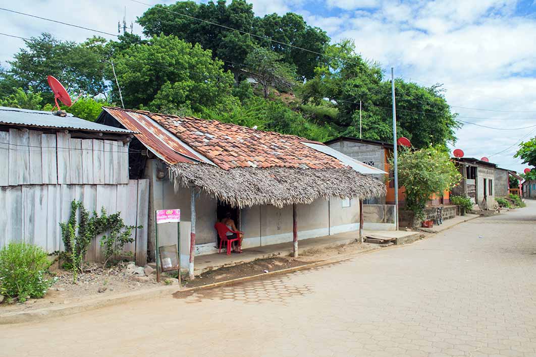
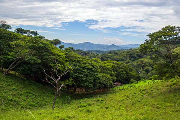
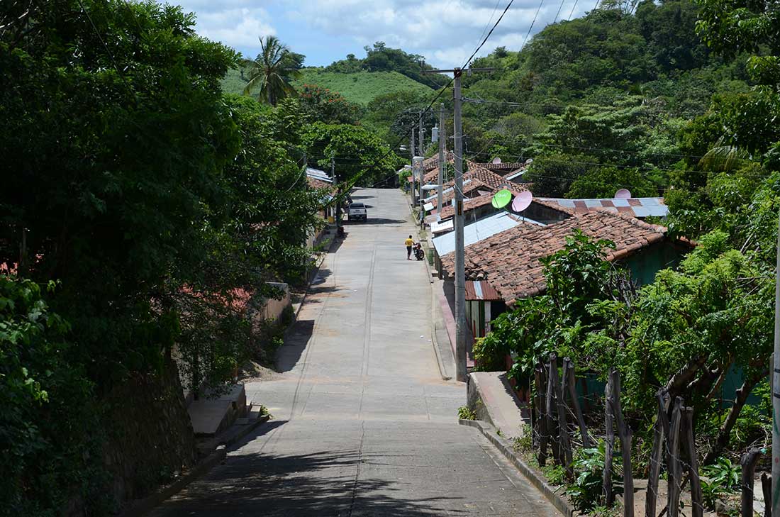
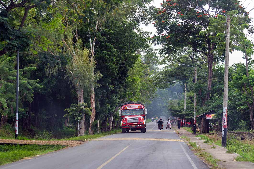
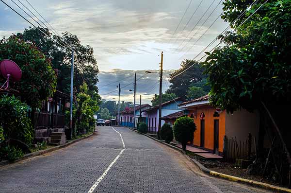
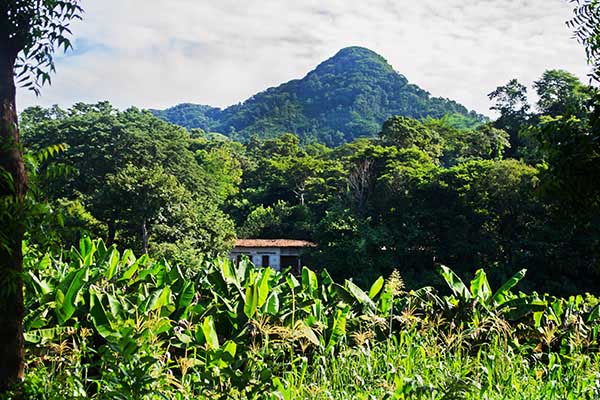
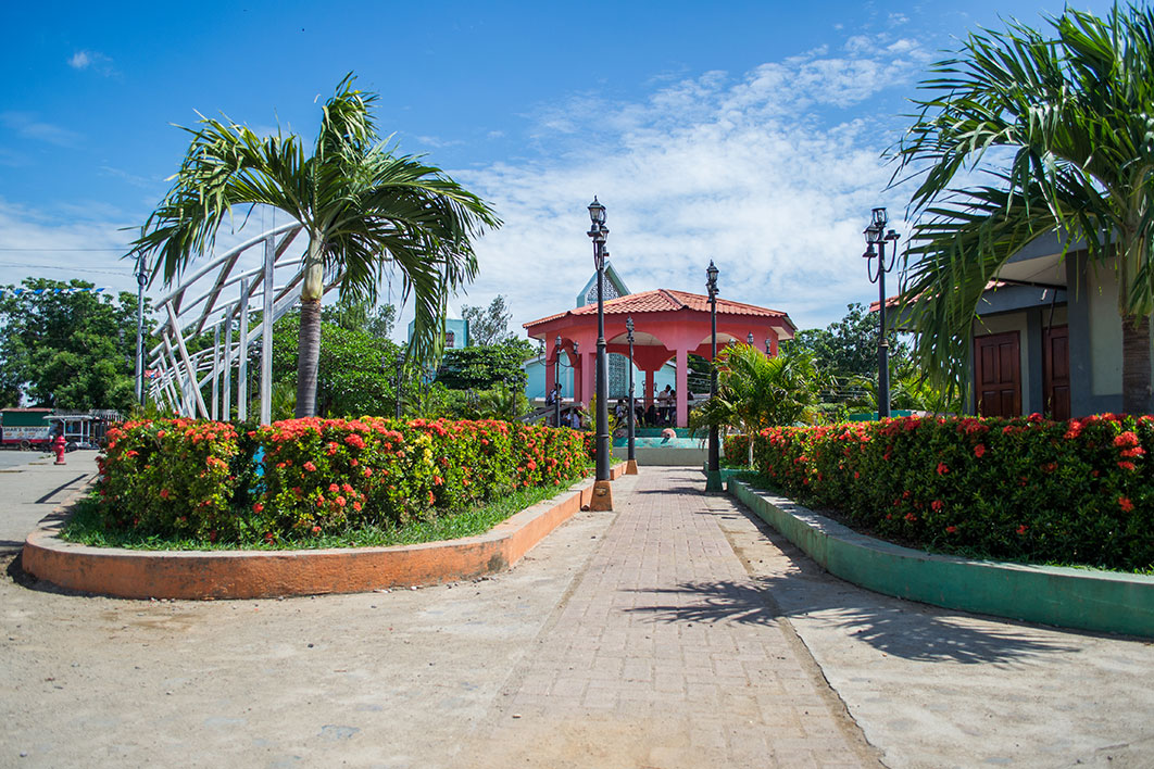
The extensive and exuberant mangroves of the Estero Real Natural Reserve will welcome you to this simple town with a rural character. Puerto Morazán is located on the banks of the Estero Real River.
The municipality is located 157 kilometers from the capital of Nicaragua, Managua. It limits to the north with Somotillo, to the south and west with El Viejo and to the east with the municipalities of Chinandega and Somotillo.
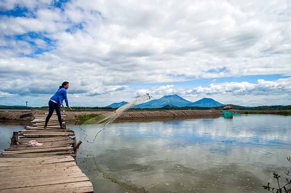
The fundamental economic activity is the cultivation of shrimp and bananas.
Demographic data
Territorial expansion |
Altitude |
Location |
|---|---|---|
| 517.34 km2 | 10.00 masl | 16,013 inhabitants Urban: 7,684 - Rural: 8,329 |
Address
You arrive from Managua by taking -at the Israel Lewites Market terminal- a bus bound for the municipality of Chinandega, then you must board a bus that goes to Puerto Morazán, from the Mercadito de Chinandega.
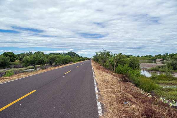
If you travel by private vehicle you can do it using the Suburban highway, taking the Nueva a León highway until you reach this municipality where you must continue towards Chinandega and at the roundabout of the latter turn right onto the road that leads to the municipality of El Viejo , later you will take a rural road passing through Tonalá until you reach Puerto Morazán.
Gallery
Music
Tourist Offer Map
