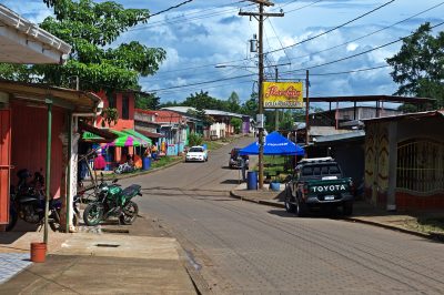
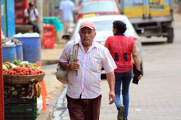
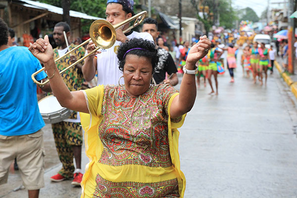
El Ayote is the youngest municipality in Nicaragua, elevated to this category in 2000.
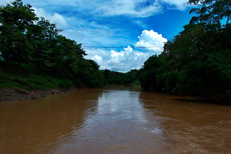
It is located on a natural border or transition zone between the elevations of the Amerrisque Mountain Range and the plains of the Caribbean Coast.
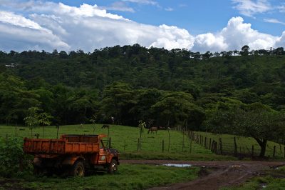
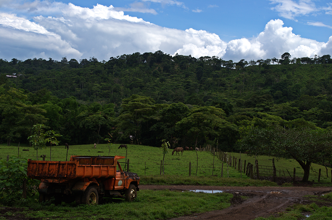
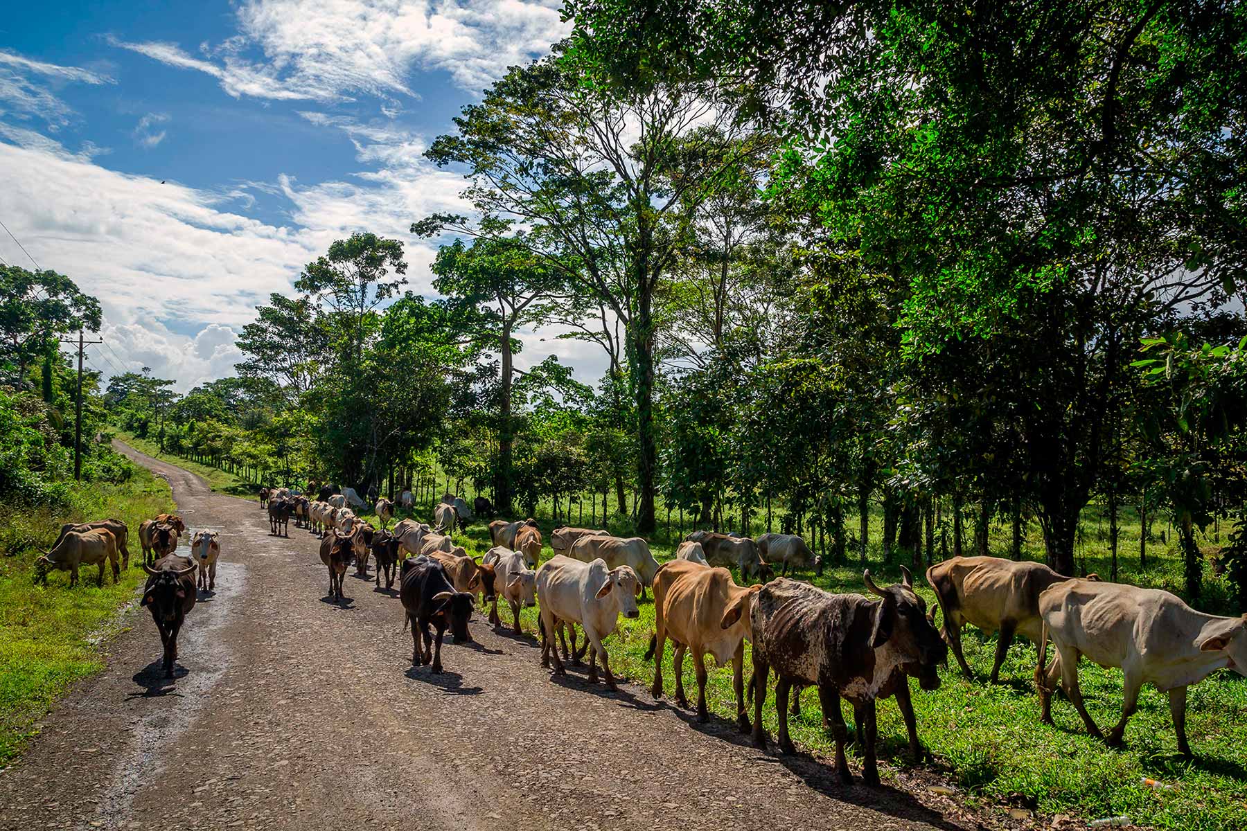
Its territory is eminently livestock and its rural culture associated with this activity predominates in all its customs.
El Ayote municipality is located 231 km from Managua, capital of Nicaragua. It limits to the north with the municipality of Bocana de Paiwas, to the south with the municipality of El Rama, to the east with the municipalities of El Tortuguero and El Rama and to the west with the municipalities of Santo Domingo, La Libertad (department of Chontales) and Camoapa ( Boaco department).
Bovine livestock is the main productive and economic activity of the municipality, although pig production is also important. Agriculture is small-scale and trade occupies an important place in the local economy.
Demographic data
Territorial expansion |
Altitude |
Location |
|---|---|---|
| 831.00 km2 | 130.00 masl | 16,825 inhabitants Urbana: 6,584 - Rural: 10,241 |
Address
If you are traveling from Managua, at the El Mayoreo market terminal you take a bus bound for Juigalpa, Chontales. At the terminal of the old market of Juigalpa you board a bus to El Ayote, which is 96 kilometers away.
If you travel by private vehicle you take the North Pan-American Highway, towards Tipitapa then head northwest to the San Benito junction, here you will turn right taking the road to El Rama that will take you to Juigalpa, and then continue towards El Ayote.
