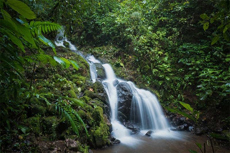
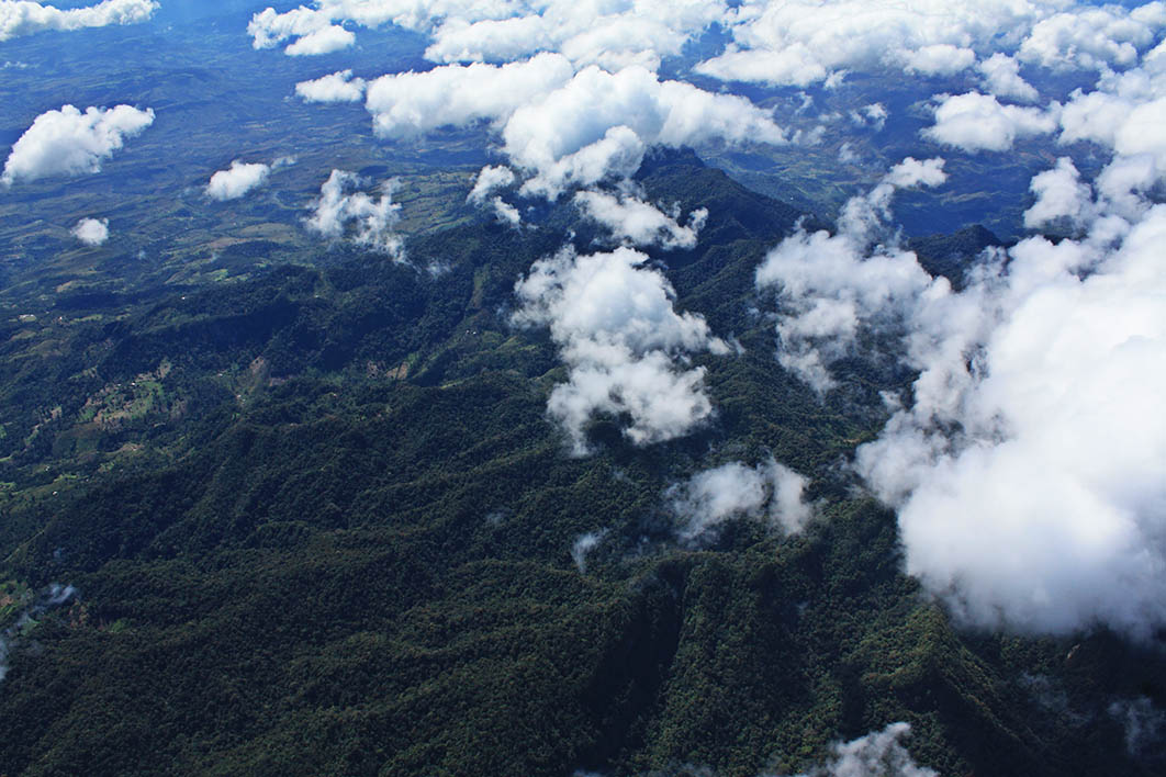
The municipality of Catarina has very rough terrain because it is part of the slopes of the Apoyo Lagoon, the Nandaime basin and the Masaya Lagoon basin. Throughout the territory, deep canyons with steep slopes can be observed, still conserving important natural vegetation.
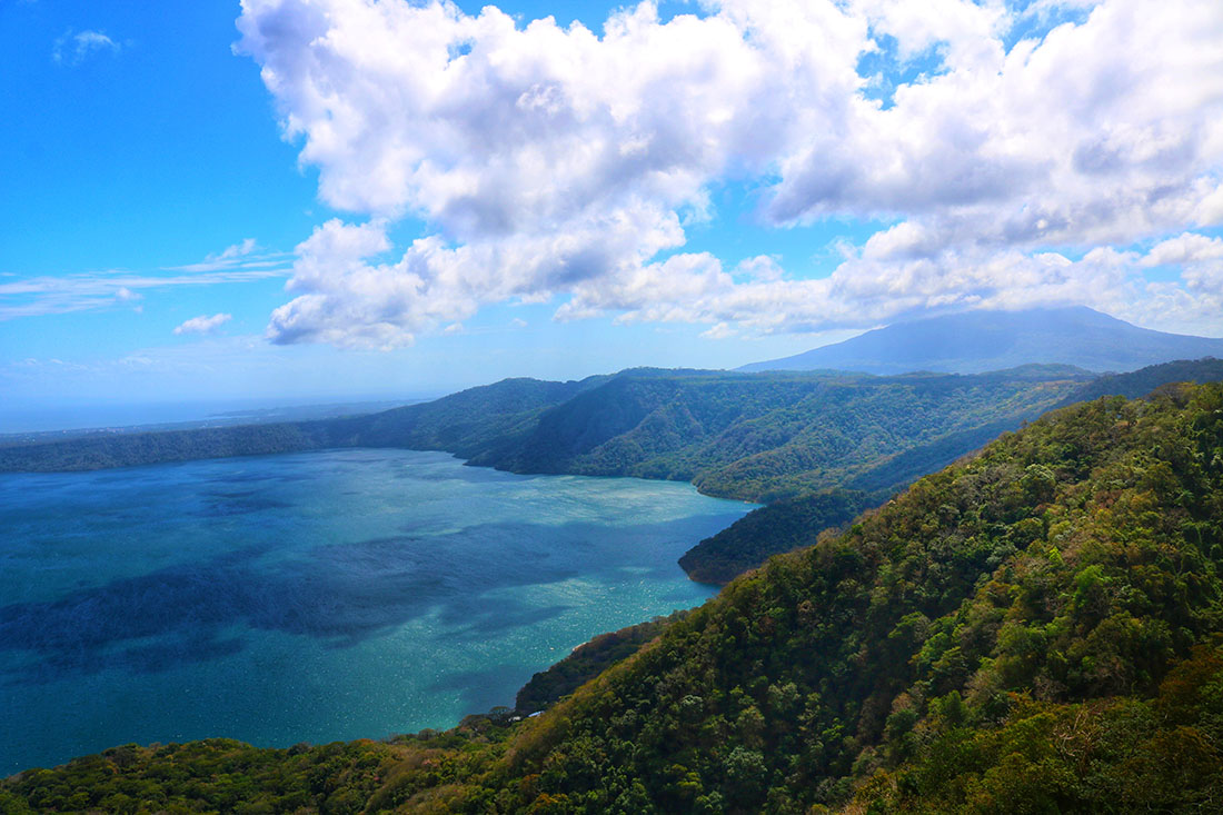
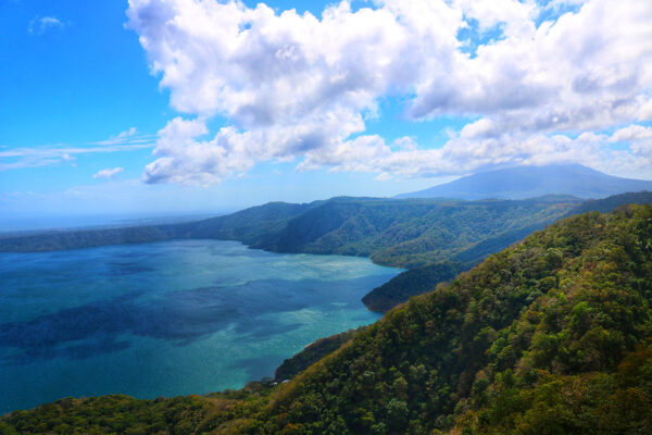
The Laguna de Apoyo is one of the main natural features of the municipality, it is the largest crater lagoon in Nicaragua (21 km²), one of the best preserved and cleanest, very close to the most populated centers of the country. On its slopes there is a lush forest with unique native fauna, the clean blue-green waters attract visitors for a unique encounter with nature.
Support Lagoon
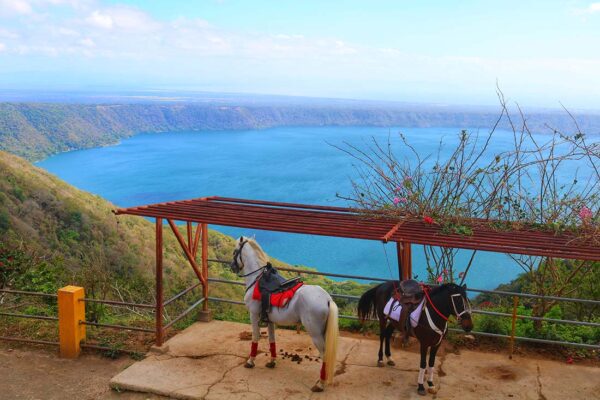
From the highest points you can see incredible landscapes. The best known and national reference panorama is the one observed from the Catarina Viewpoint, from where you can see the Tisma Lagoon, the Apoyo Lagoon, the Cocibolca Lake and its islets, as well as the Mombacho Volcano, Malacatoya and the Amerrisque Range. It is surprising and interesting to go down to the edge of the lagoon through the road that descends along its northern slope, admiring the forests that cover it and the landscape at different levels.
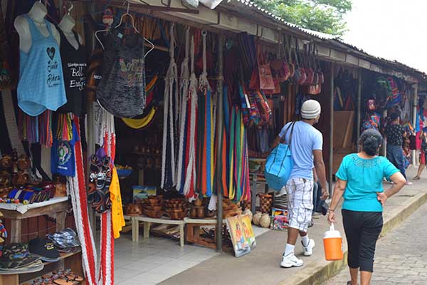
The viewpoint is one of the highest points in the urban area of the municipality, you can take walks, shop for handicrafts in the area, horseback riding, enjoy live music offered by local trios or groups, taste delicious dishes of the national gastronomy or bring your own food and choose the best place to spend a morning or afternoon picnic.
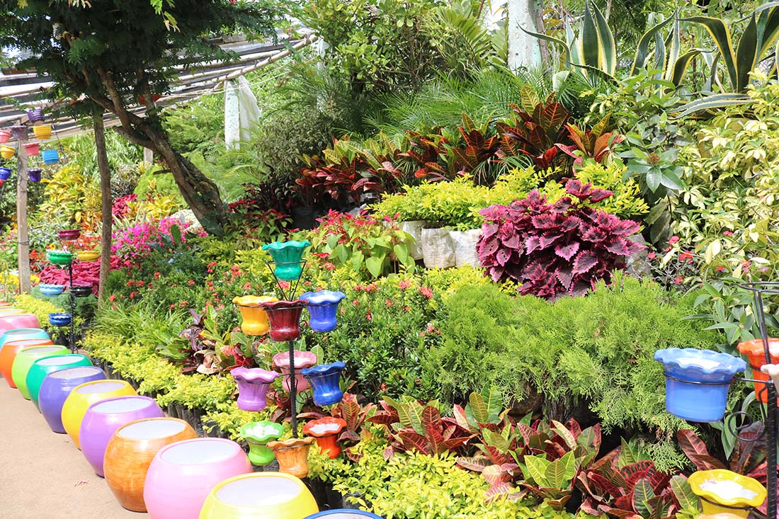
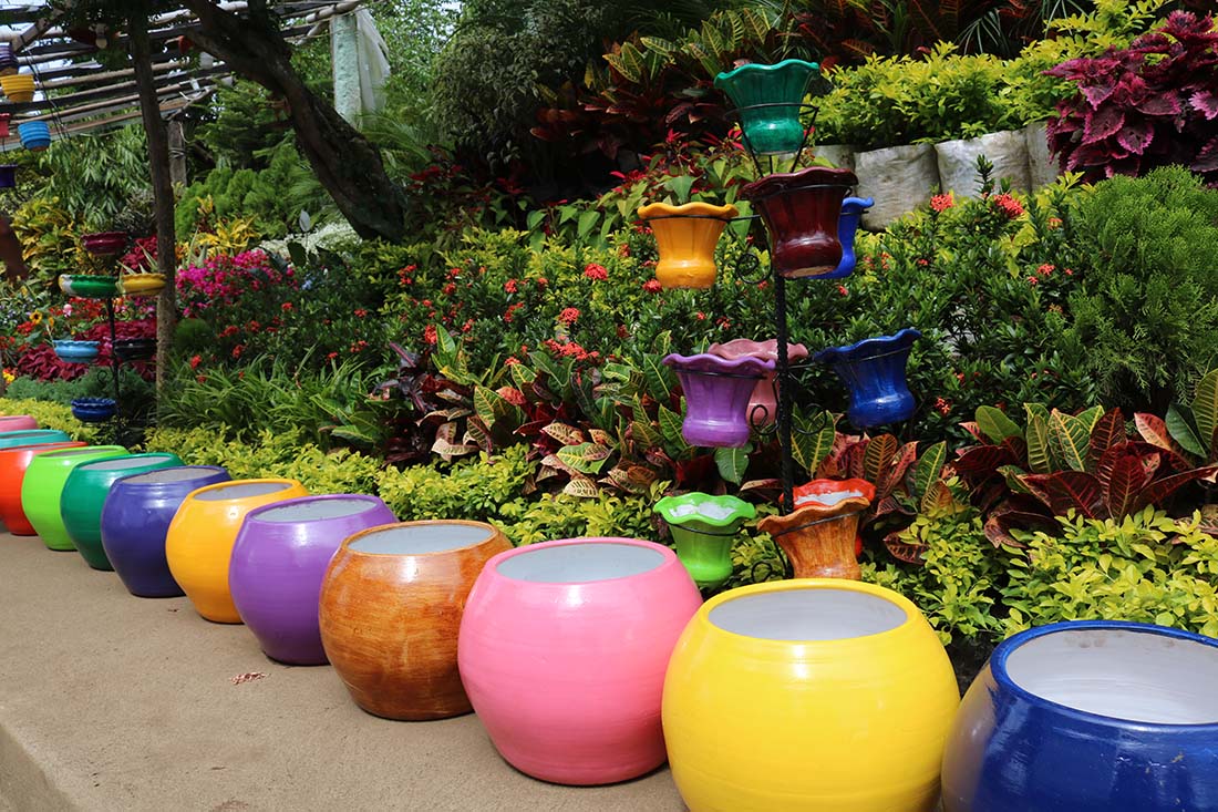
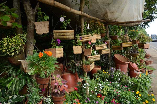
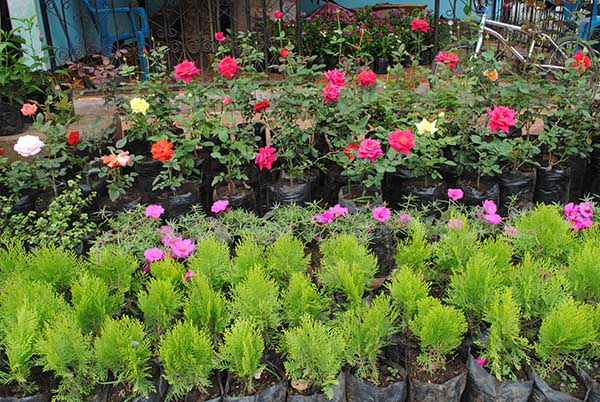
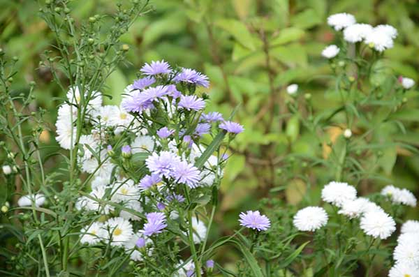
The characteristics of the terrain, the vegetation and the height create a pleasant environment that is used for the production of ornamental plants that are offered on the main roads of the municipality. Little by little creative handicrafts in wood, clay, fibers and other natural materials have been added to the offer.
Other economic activities such as livestock and agriculture add attractiveness to the municipality and teach us how sustainable economic activities can coexist with our natural resources.
46% of the municipal territory is located within the Laguna de Apoyo Nature Reserve. Much of the rest of the municipality is in the buffer area, where the trees of the ravines and crops help create corridors for wildlife.
The aquatic ecosystem is represented by the Apoyo Lagoon, it is considered a very important ecosystem for conservation since it has unique species in the world and therefore very sensitive to human activities.
The terrestrial ecosystems are composed of the tropical and subtropical dry forest, and the agricultural systems of the dry tropics are represented by the crops of beans, corn, cassava, quequisque, broom wheat, citrus fruits, mangoes and grass for livestock.
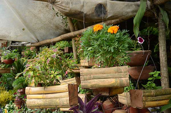
Wood, although on a smaller scale than neighboring municipalities, is also used to make furniture and handicrafts, and bamboo is used to make furniture, baskets, flower pots and handicrafts.
There are pumice mines near the urban area, the material is extracted by hand and mainly for use in the construction of houses in the municipality.
nature tourism
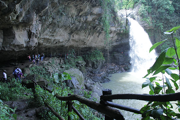
Los Mangos Trail: with medium difficulty, it is a path of 860 meters in length. There are two platforms from where you can see the Laguna de Apoyo and the city of Granada.

Mangos Trail
The Railroad Trail: with an extension of 2.1 kilometers (it is circular with extreme difficulty of access), a route where you can learn about the route of the old train that crossed the shore of the Lagoon carrying the coffee that came from Carazo.
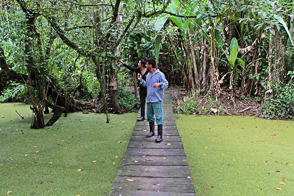
The trails are guided by young people from the communities of Pacaya, Diriomo, Catarina and San Juan de Oriente, who make up the Copalt-Poyec Cooperative to offer these services. If you want to hire their services, you can ask for them at the booth at the main entrance of the Mirador de Catarina or look for them on their Facebook page.
La Pila Circular Trail: It is five kilometers long and takes about an hour and a half. It has two viewpoints and six stations, on the way you can see trees up to 100 years old, such as the Panama tree, ceiba, pochote and jiñocuabo; some of these serve as a refuge for howler monkeys or squirrels and are used for natural medicine by the locals. From some points on the route you can see the Laguna de Apoyo at its best.
Diriomito viewpoint: you will find typical restaurants that offer a varied gastronomic offer and you will enjoy scenic views that are a perfect setting for taking pictures. From the viewpoint you can see the Laguna de Apoyo, the city of Granada, the Great Lake and its islets and the majestic Mombacho Volcano.
Support Lagoon: declared a Natural Reserve in 1991 by the Ministry of the Environment and Natural Resources. It is of volcanic origin and its extinct crater has the shape of an inverted cone. The lagoon provides an impressive landscape view, its calm, warm and clean water transmits calm and peace.In its wooded surroundings it preserves a varied flora and fauna, in addition to the offer of accommodation, food and drinks that make this place an appropriate place spend the day with friends and family.
El Mirador
The lagoon is very busy for being a great spa. Some outdoor activities are practiced such as kayaking, diving and hiking. All these services are offered by hotels in the area or tour operators. It has a wide range of tourist services for accommodation, food and recreational activities.
The lagoon can be reached through public buses, which go to the city of Granada from Masaya or Managua and at kilometer 37 is the entrance to the lagoon where you can get off and wait for another bus to go down to it. Some of these buses do not go to the lagoon so do not rule out walking a bit.
From Catarina you can board motorcycle taxis; If you stayed at kilometer 37 it is worth using the selective transport.
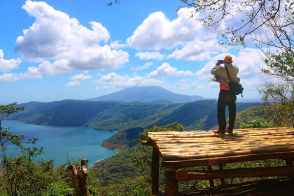
El Mirador
You can get there by private vehicle, from Managua you pass through the city of Masaya and at kilometer 37 you turn right, follow the cobbled road until you reach a crossroads where you turn left and then follow the existing signs.
The tourist can coordinate with the local guides to make trips to the different routes that Catarina has.
Gallery
Tourist Offer Map
