Originally this municipality was called “Obraje”. This name is associated with the Hacienda de Añil “El Obraje”, owned by the Ugarte family that existed at the end of the XNUMXth century.
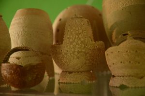
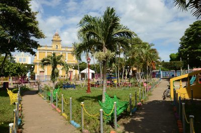
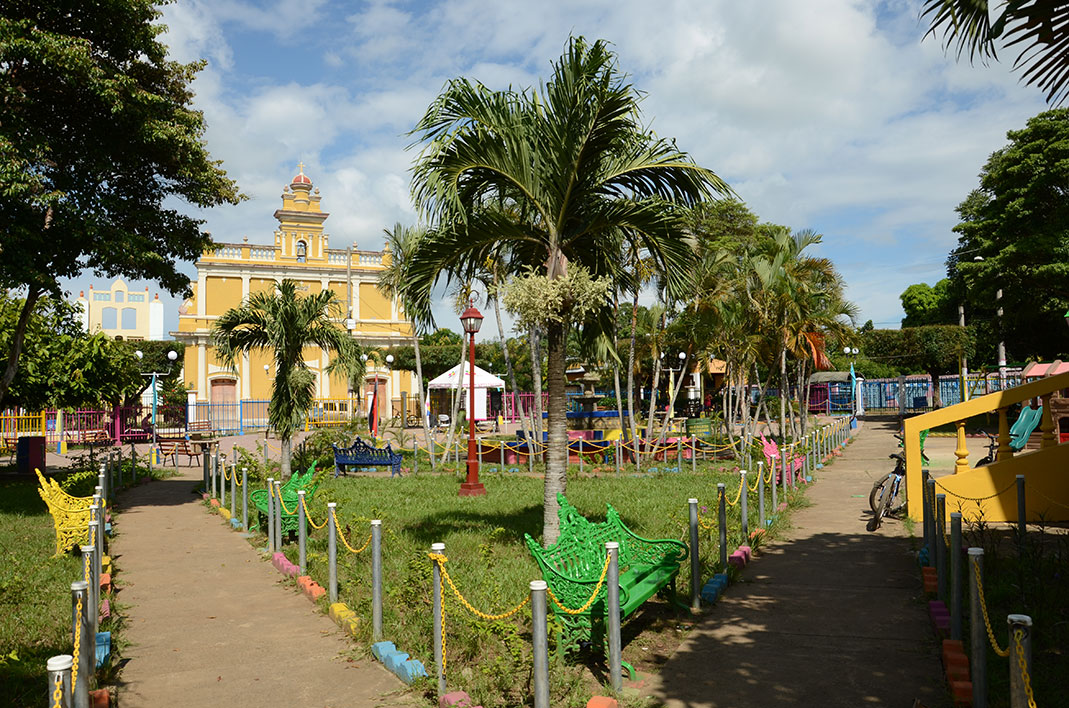
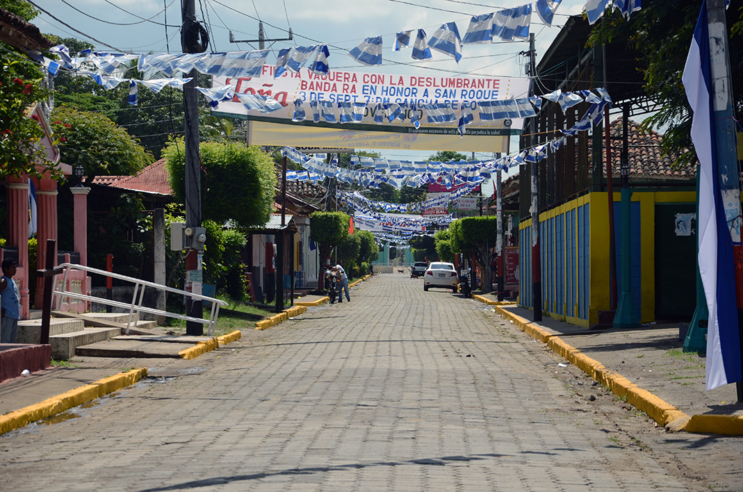
A town that moves forward every day, of hardworking and creative people, famous for their filigree engraved gourds, lively culture and beautiful natural spaces. Belén invites you to know a little piece of southern Nicaragua that you will love.
The municipality of Belén is located 101 kilometers southeast of Managua. It limits to the north with Nandaime, to the south with Rivas, to the east with Potosí and to the west with Tola.
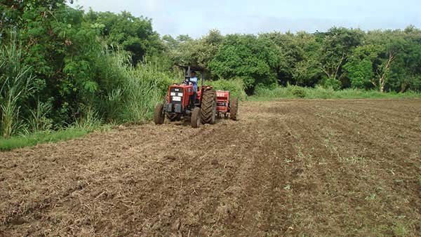
The predominant economic activity is based on agriculture and extensive livestock for the production of milk and meat. There are large areas of its territory cultivated with bananas, considered the main item for commercialization, as well as other crops among which the cultivation of rice, sugar cane, beans and sorghum stand out.
Demographic data
Territorial expansion |
Altitude |
Location |
|---|---|---|
| 246.26 km2 | 80.00 masl | 18,306 inhabitants Urban: 7,736- Rural: 10,570 |
Address
By public transport, to get to Belén you can take a bus to Rivas or the southern border, from the bus terminal located in the Roberto Huembes Market in Managua and ask for a stop in Belén. Departures begin at 5:30 am, and buses leave every thirty minutes.
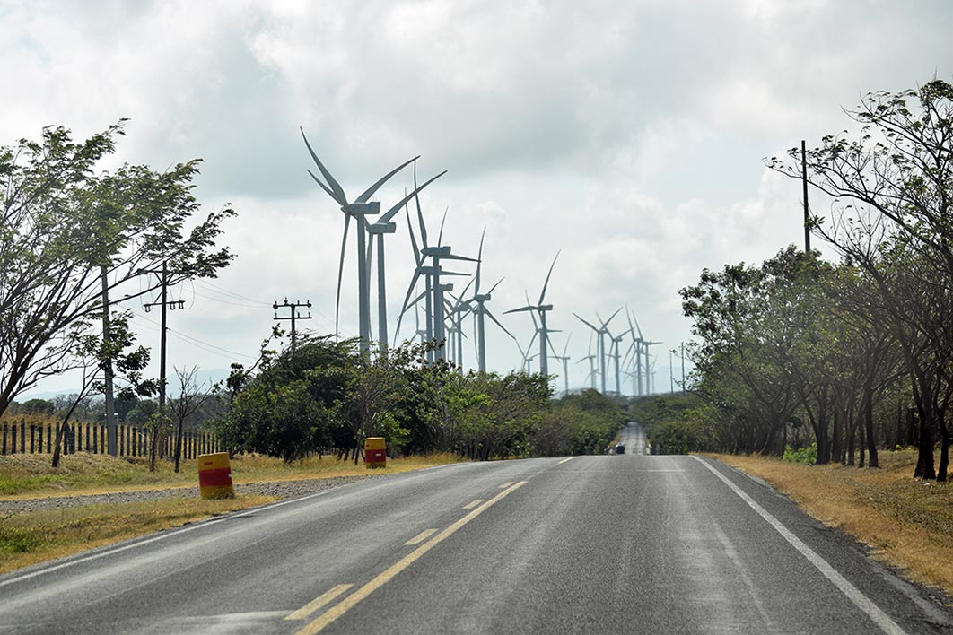
If you travel by private vehicle you must take the South Pan-American Highway towards the municipality of Rivas, until you reach the junction of Belén, which marks the entrance to the municipality.
